POLITICS & POLICY MAKING
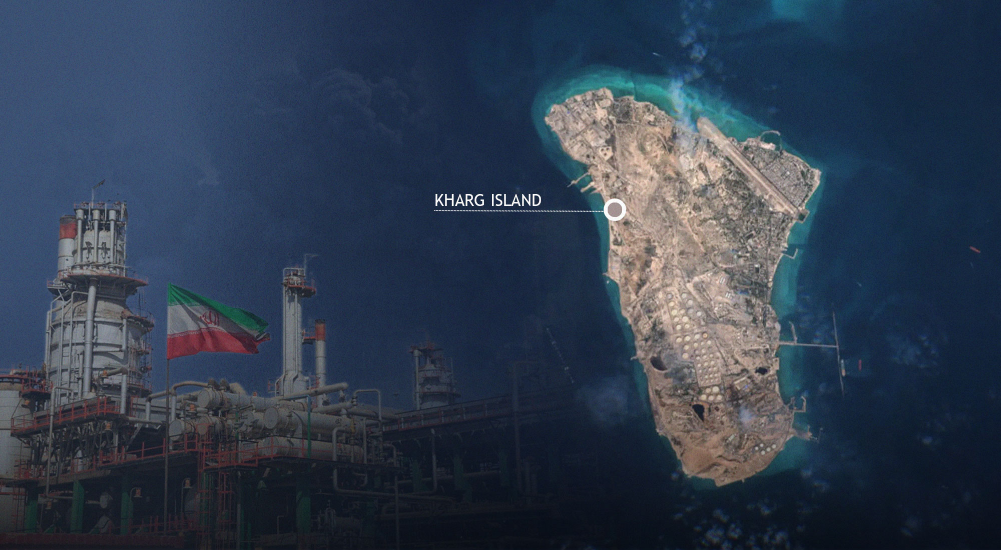
Satellite imagery has revealed a massive oil slick spreading near Kharg Island, the primary hub for Iran’s crude oil exports. The leak emerges at a critical time, as the region remains gripped by a naval blockade and ongoing military tensions.
Scale and Scope of the Spill
Environmental monitoring firms, including Orbital EOS, have reported that the slick covers approximately 20 square miles (52 square kilometers). The spill was first detected off the western coast of the island and has begun drifting southward.
While the exact cause of the leak has not been officially confirmed, experts from the Conflict and Environment Observatory expressed concern that the spill is unlikely to be managed effectively given the current regional instability.
Strategic Importance of Kharg Island
Kharg Island is the lifeblood of Iran's economy, housing:
-
The country's largest oil export terminal.
-
Extensive pipeline networks and massive storage tank farms.
-
Critical infrastructure that supports nearly all of Iran's maritime oil trade.
The Geopolitical Context
The spill occurs against a backdrop of severe regional friction. Since late February, the Strait of Hormuz has been largely closed, and the United States has maintained a naval blockade of Iranian ports. This has left numerous tankers stranded in the Persian Gulf, increasing the risk of mechanical failures or accidental leaks.
With Kharg Island located hundreds of kilometers northwest of the Strait, the environmental impact of this slick could potentially threaten sensitive marine habitats across a wide stretch of the Gulf's northern waters.
-
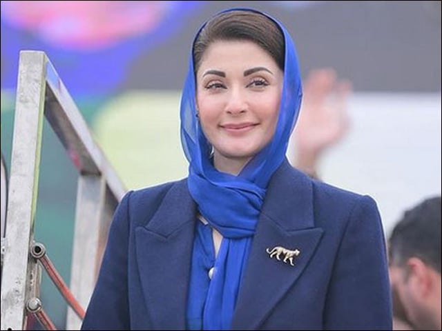
Information Blocked: Punjab CM Office Cites "Safet...
The Punjab Chief Minister’s Office has declined to provide details regarding CM Maryam N...
-
Adiala Jail Opposes Daughter’s Plea to Meet Bush...
The Superintendent of Adiala Jail has rejected a request by Mubashra Maneka to meet her mo...
.jpg)
-
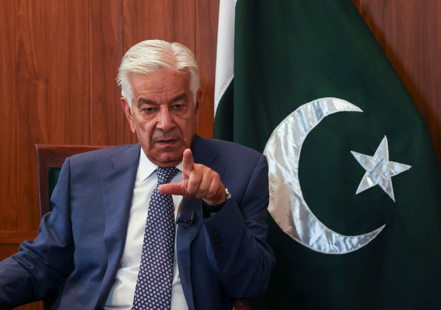
One Enemy on Both Borders": Khawaja Asif Warns Kab...
The Defence Minister’s remarks follow a sharp escalation in cross-border tensions and th...
-
Diplomatic Dishonesty": Iranian FM Slams U.S. Maxi...
In a direct rebuke of the White House’s recent overtures, Foreign Minister Abbas Araghch...
-
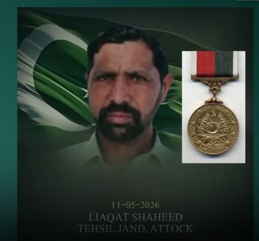
President Zardari Approves Sitara-i-Shujaat for Li...
President Asif Ali Zardari has posthumously awarded the Sitara-i-Shujaat to Liaqat, a brav...